

More in Climate Science & Research
Climate Science & Research
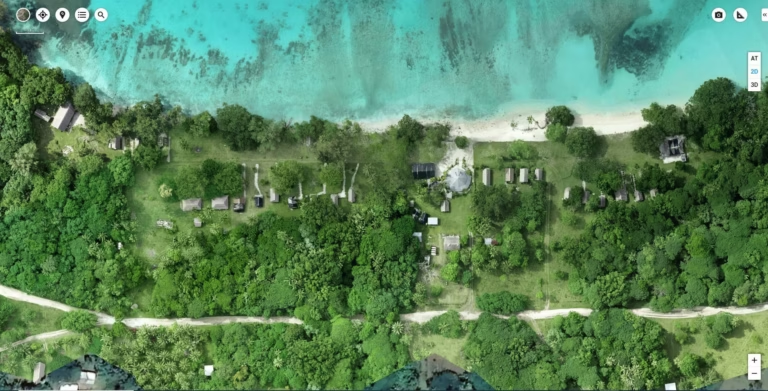
Advanced Drone Technology (M300 RTK with L1 and P1)
We are leveraging the Matrice 300 RTK drone equipped with L1 LiDAR and P1 photogrammetry cameras to enhance climate-resilient infrastructure in the Pacific. This innovation allows us to conduct high-precision aerial surveys, monitor coastal erosion, assess infrastructure vulnerability, and optimize designs for roads, bridges, and drainage systems.
Climate Science & Research
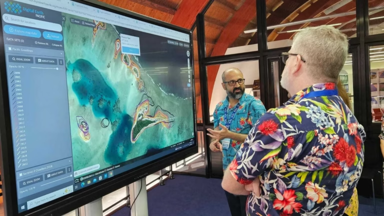
Digital Earth Pacific
The Pacific Community’s (SPC) Digital Earth Pacific (DE Pacific) programme is a free digital public infrastructure that delivers Earth and marine observation systems, harnessing decades of satellite data to monitor environmental changes across the Pacific regio
Climate Science & Research
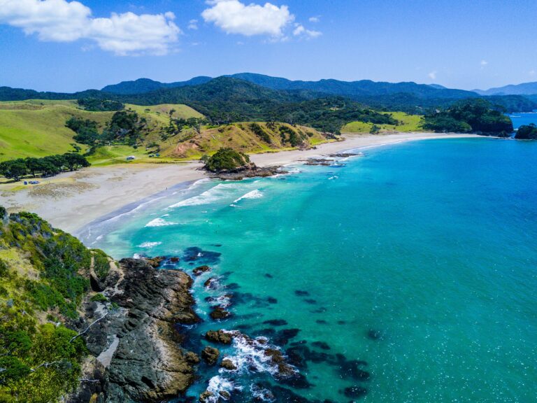
Integrated Satellite and Atmospheric GHG Monitoring System
By integrating environmental observations, advanced modelling, and emerging technologies, ESNZ supports evidence based decision making for governments, communities, and industries, helping to build resilience to climate change and natural hazards across New Zealand and the wider Pacific region.