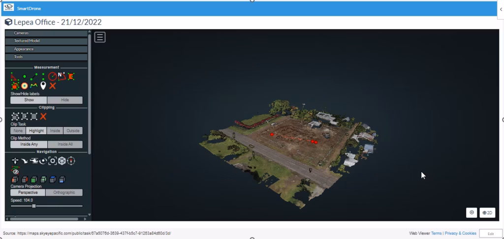
Smart Tools (GIS/RS) for Climate Change application – Proliferation of the use of drones for environmental mapping in the pacific requires a platform for processing and dissemination of the captured data in a simplify workflow. Smart Done solves this.
Smart Tools is a reworking of GIS system development that addresses challenges that traditional GIS system encounters. Smart Tools goes beyond traditional GIS systems which is what the pacific needs.
Please note:
This action will also remove this member from your connections and send a report to the site admin.
Please allow a few minutes for this process to complete.